
- Home
- SG Transportation & Directions
Summer Gathering 2018: Transportation and Directions
Camp Kinderland 1543 Colebrook River Road, Tolland, MA (click for a google map) Camp Kinderland is less than 3 hours from Boston; less than 4 hours from NYC; just one hour from Hartford, 50 minutes from Springfield, MA, and a half hour from Winstead, CT. When you register, you can request a ride and/or offer to give a ride to someone else.
Driving DirectionsDirections by car from the New York area: Interstate 684 North into Route 84 (towards Danbury). Follow 84 to Exit 20 (Waterbury/left hand exit.) Take Route 8 North. (Route 8 as an expressway ends at Winsted, CT., but it continues as a highway.) At end of expressway section of Route 8, turn right and continue on smaller Route 8 North approximately 15 miles until intersection with Mass. Route 57 at New Boston (Sandisfield). Take right turn up steep hill onto route 57; continue 4 miles to Colebrook River road, which will be marked by by "PMN" sign. Turn right onto Colebrook River Road for exactly 3 miles to Kinderland sign on left. Turn left onto camp road. You may also take the Hutchinson River Parkway to the Merrit Parkway to Exit 52-Route 8 North. Follow directions above from Route 8. Directions by car from the Massachusetts area: I-91 through Springfield to Exit #3 (to Westfield). Follow signs for route 202 west through Westfield and into Southwick. In Southwick, turn right onto route 57 west and follow it for 15 miles. Just after Tolland General Store, which is on the right-hand side of the road, look for Colebrook River Road on left, which will be marked by by "PMN" sign. Turn left onto Colebrook River Road for exactly 3 miles to Kinderland sign on left. Turn left onto camp road. Map of Camp Kinderland: 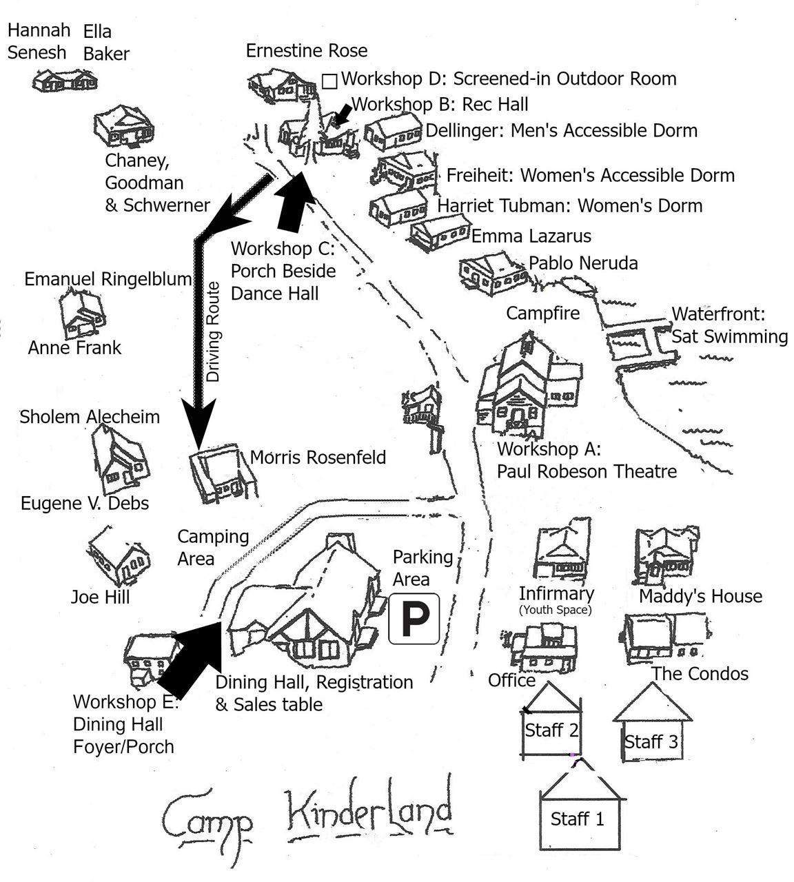 |